
The local area
South Devon is a strip of coastline that encompasses five river valleys, sandy beaches and winding country lanes. It is designated an Area of Outstanding Natural Beauty that has long been a stronghold of maritime heritage. Stretching from Torbay to the outskirts of Plymouth, this coastline is a Heritage Coast.
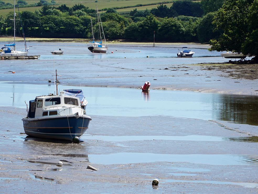
The estuaries of the Yealm, Erme, Avon and Dart all flow southwards from Dartmoor into the Channel. These estuaries provide habitats for a host of wildlife. Previously restricted to warmer climes, little egrets have moved north and begun to breed here, while kingfishers, otters and salmon are also resident. The Salcombe–Kingsbridge estuary, which is tidal up to the town of Kingsbridge, eight kilometres inland, is designated as a marine local nature reserve due to its eelgrass beds, which provide a nursery site for seahorses.
The coastline ranges from intricate hidden coves to precipitous jagged cliffs and from the long golden sweep of Slapton Sands to the panoramic beauty of the Dart and Kingsbridge estuaries. The region has almost 100 kilometres of undeveloped coastline. The high cliffs are slate laid down 400 million years ago, while the coastal lowlands are marked by sandy beaches and dune systems, including 68 public beaches and more than 100 inaccessible coves.
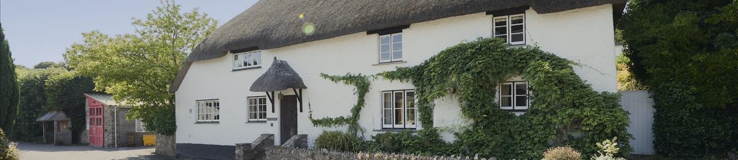
These coves made South Devon a prime location for smugglers during the 17th and 18th centuries, and a walk along the South West Coast Path reveals evidence of the region’s varied maritime past, from lighthouses to former coastguard’s cottages. Historically, the rivers were the transport system rather than the roads. Whilst there was a tradition of legitimate trade, the coastguards were there to prevent smuggling and patrol the coastline. Clearly the presence of their houses all along this coast is testament to the fact that trying to control the import of illicit smuggled goods was a full-time occupation.
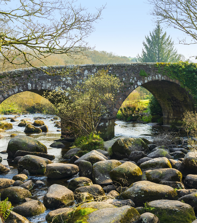
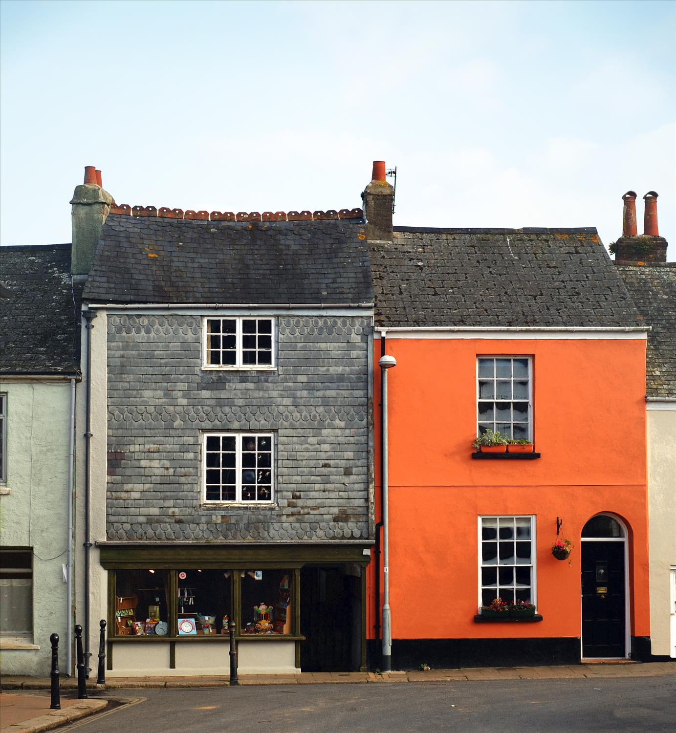
While the area began to thrive in medieval times, as signified by castles such as those at Dartmouth and the historic town centres of Totnes and Salcombe, its human history extends much further back, with evidence of Bronze Age agriculture. The area was organised and settled very early, and with quite sophisticated patterns of trade and movement. There are ancient drove roads that connect the coast with Dartmoor, and the theory is that Bronze Age people used to move their cattle between summer pastures on Dartmoor and lowland pastures on the coast in winter.
Also dating from around that time are some of the 4,000 kilometres of hedge banks that bound the local farmland; more recent ones line many of the roads. Known as Devon hedges, they are impressive and imposing, consisting of a bank of earth two or three metres in width from which trees and shrubs sprout to form an impenetrable barrier as tall as it is wide. Today, these hedges provide homes for wildlife such as dormice, bats and the UK’s only cirl bunting population.
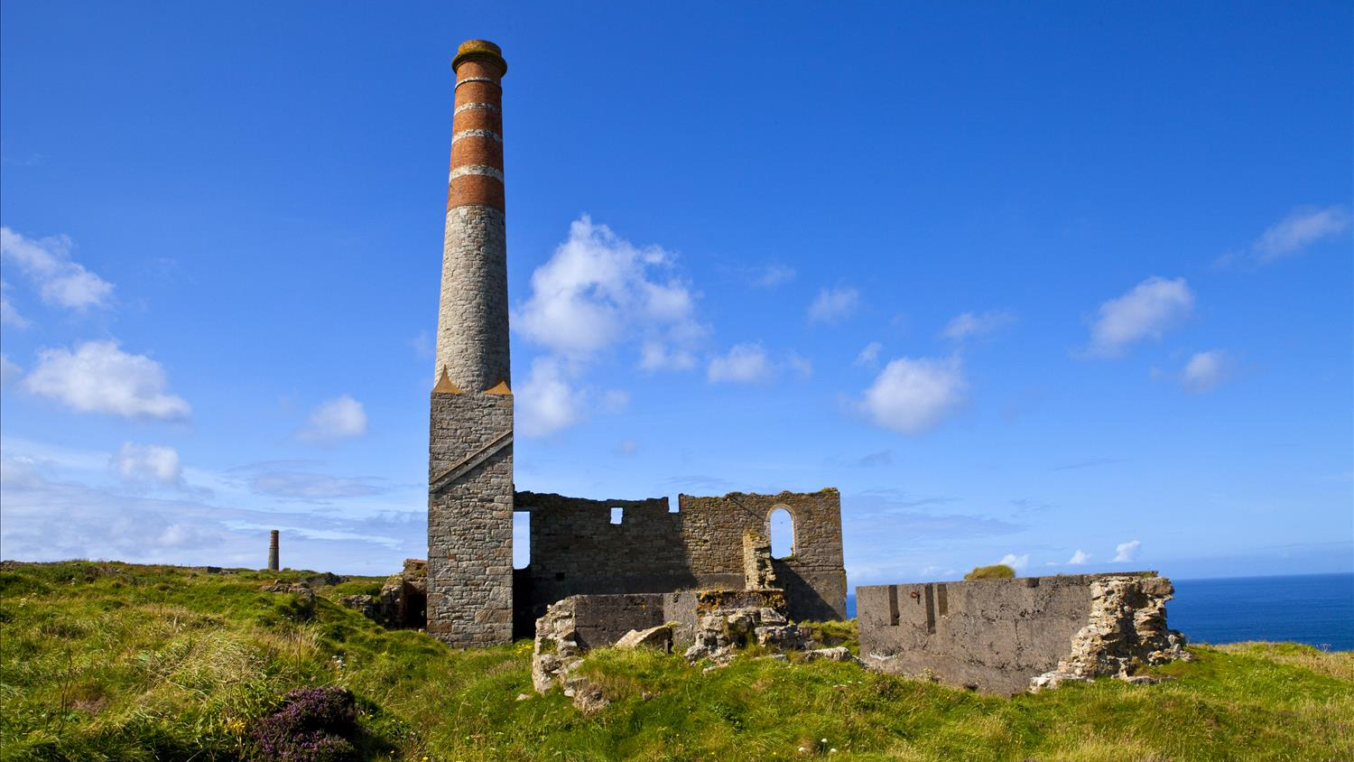
Devon has produced tin, copper and other metals from ancient times. Until about 1300 it produced more than Cornwall but production declined with the opening of the deep Cornish mines. Tin was found largely on Dartmoor's granite heights, and copper in the areas around it. The Dartmoor tin-mining industry thrived for hundreds of years, continuing from pre-Roman times right through to the first half of the 20th century. In the eighteenth century Devon Great Consols mine (near Tavistock) was believed to be the largest copper mine in the world.